SkyNav
SkyNav — Overview

SkyNav is an advanced drone management and flight planning app designed for both professional and recreational pilots. Built with Apple-first technology, it leverages CloudKit and Apple’s secure ecosystem to deliver a seamless, private, and intuitive experience.

SkyNav is designed to optimize drone operations for public safety, commercial use, and aerial photography, making drone piloting more efficient and compliant with regulations.
With meticulous attention to detail and a commitment to excellence, we create solutions that inspire, elevate, and enrich the lives of those who utilize them.
SkyNav is the ultimate flight companion for drone pilots, offering real-time weather updates, aeronautical resources, and streamlined flight planning tools across Canada, the USA, and the UK. With interactive maps, pilots can explore key locations such as airports, national parks, and heliports to help inform their flight planning. While SkyNav provides valuable insights, pilots are responsible for verifying airspace regulations and compliance before each flight. The app also simplifies license and certification management, ensuring that users stay organized and prepared for every mission.
SkyView, SkyNav’s built-in social platform, allows pilots to share and explore aerial photography and videography from around the world. Users can upload their drone footage, browse stunning landscapes, and connect with a community of drone enthusiasts. Built with Apple’s trusted security framework, SkyNav ensures privacy and data protection, so users can focus on flying with confidence. Whether planning a flight, tracking progress, or engaging with fellow pilots, SkyNav enhances every aspect of the drone experience.
“SkyNav makes flight planning so much easier. I love having weather updates, airspace insights, and all my drone details in one place. It’s become an essential tool for my flights.” — Mark R., Recreational Drone Pilot
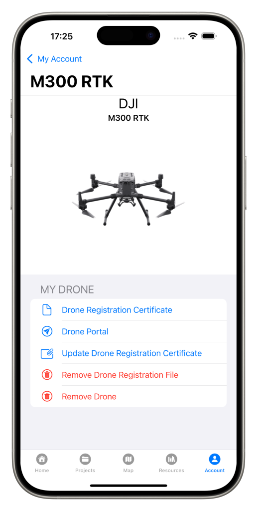
SkyNav streamlines drone project planning by helping pilots track registrations, manage licenses, and organize flight logs in one place. Whether for a single flight or a large operation, it keeps pilots organized, compliant, and mission-ready with ease.
Effective drone project planning is key for all pilots. SkyNav simplifies tracking registrations, managing licenses, and organizing flight logs in one place, keeping pilots organized, compliant, and flight-ready with ease.
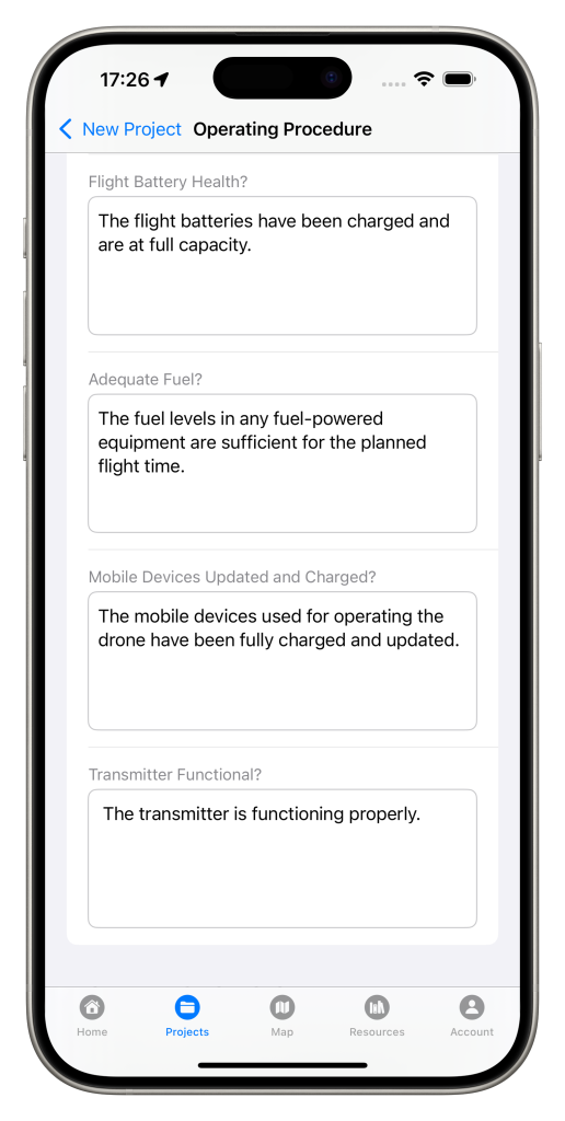
SkyNav streamlines drone flight planning by providing tools to organize routes, monitor conditions, and follow standard operating procedures (SOPs) for safe and efficient missions.